Riding transit to California's beaches
California Coastal Commission maps car parking at 1,600+ public access points. A spatial join with Transitland Datasets reveals which trailheads, surf spots, and overlooks can be reached by bus or rail.
Occasional updates on Transitland, GTFS, OpenStreetMap, and the work of the Interline team.
California Coastal Commission maps car parking at 1,600+ public access points. A spatial join with Transitland Datasets reveals which trailheads, surf spots, and overlooks can be reached by bus or rail.
Visualize subway station topologies. Inspect wheelchair-accessible navigation. Transitland's free GTFS-Pathways viewer is powered by Interline Station Editor.
Standard zip hashes are unreliable for GTFS versioning due to variable metadata. Learn to use content-aware checksums to accurately identify unique transit datasets.
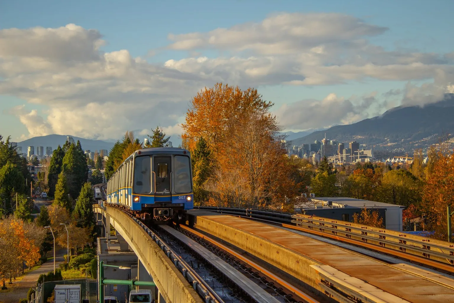
We're excited to be participating in this year’s MobilityData Workshop in Vancouver.
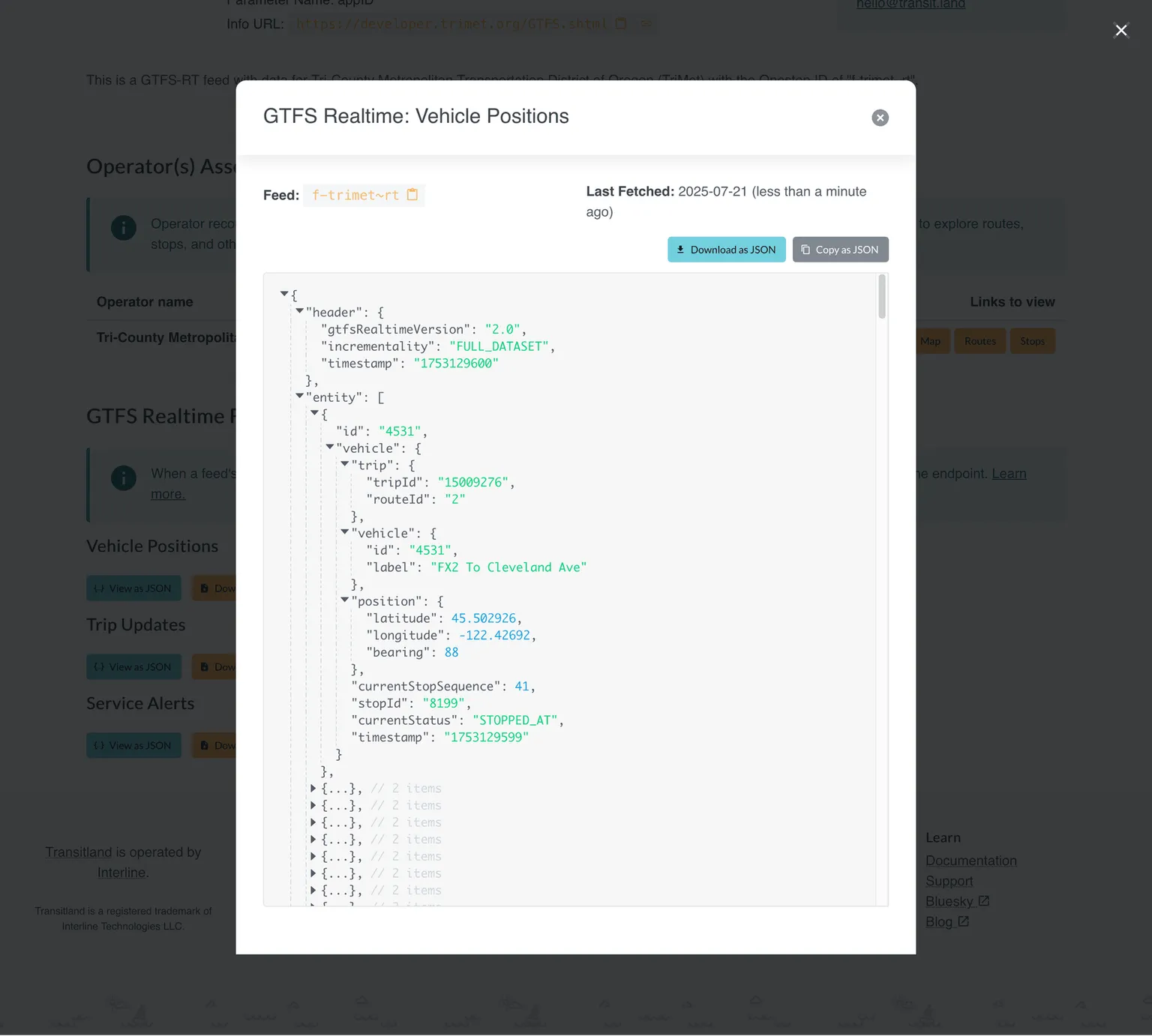
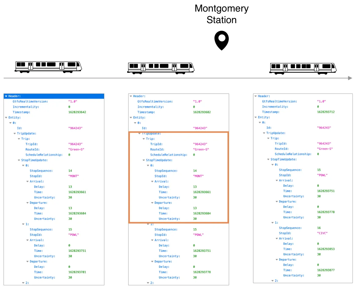
Web browsers and text editors can't open GTFS Realtime. But with Transitland, you now can.
We're pleased to announce the release of transitland-lib version 1.0.0. This software library, written in the Go programming language, is the foundation of the Transitland platform and integral to a growing range of purpose-built applications.
Our engineering team has recently been refactoring some of the internals of the Transitland website. The main goal has been to update various components and dependencies, to better support Interline's consulting clients who also use these components. As a side effect: the canonical Transitland website now has an optional dark mode.
Want to build your own display to show when a bus, train, or ferry next departs? Here's a fun Instructables how-to guide.
We'll be represented at the US Transportation Research Board Annual Meeting in Washington, D.C., by Interline principal Drew Dara-Abrams.
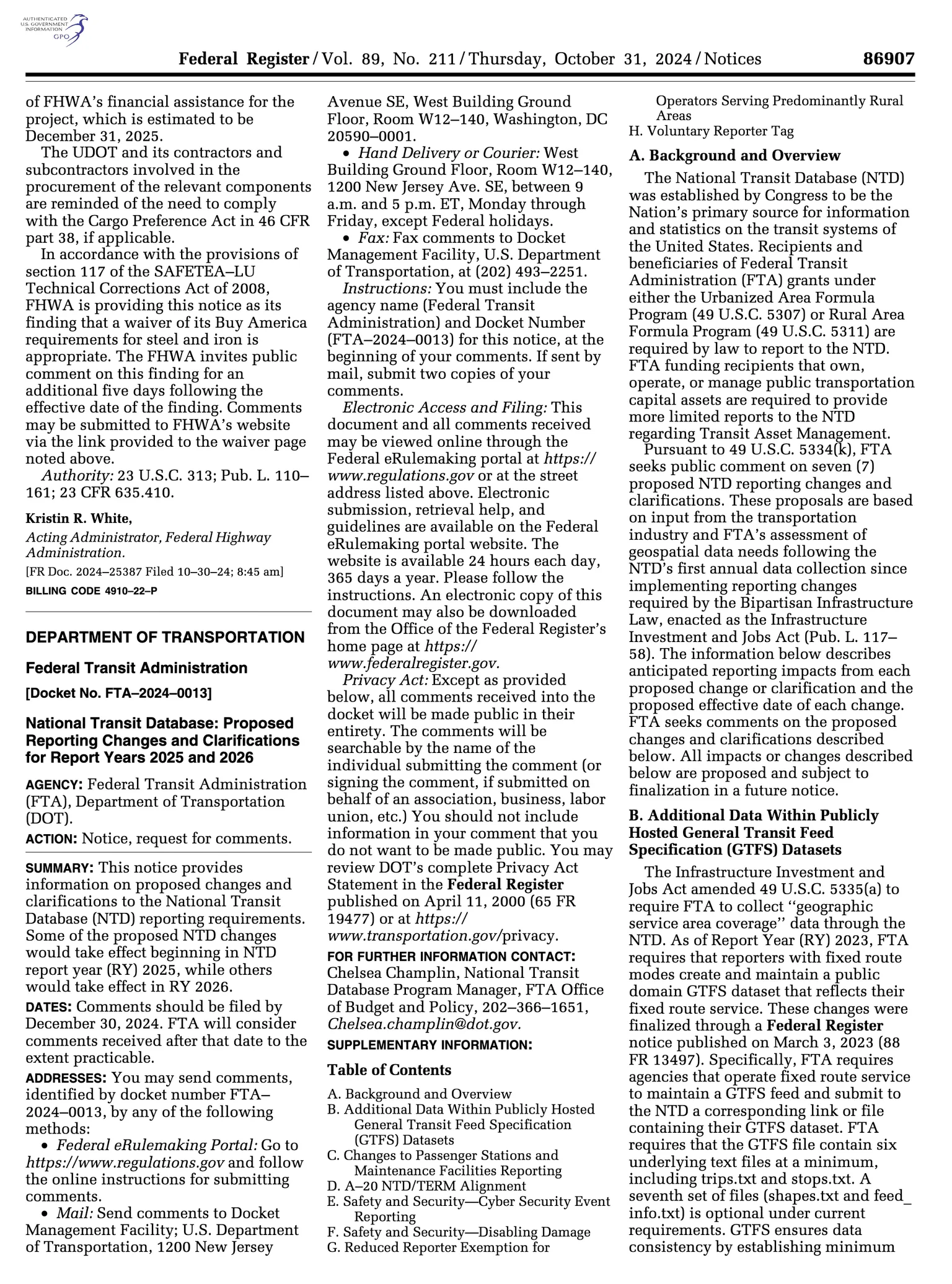
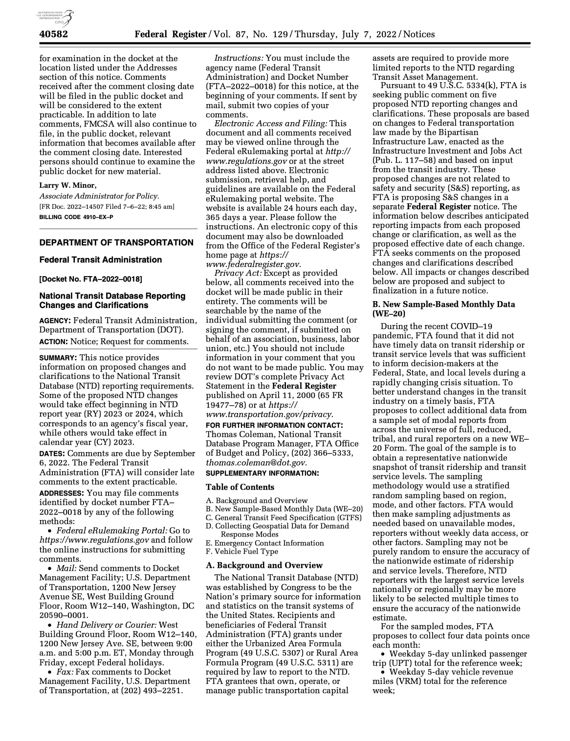
Our recommendations to the US Federal Transit Administration regarding National Transit Database: Proposed Reporting Changes and Clarifications for Report Years 2025 and 2026.
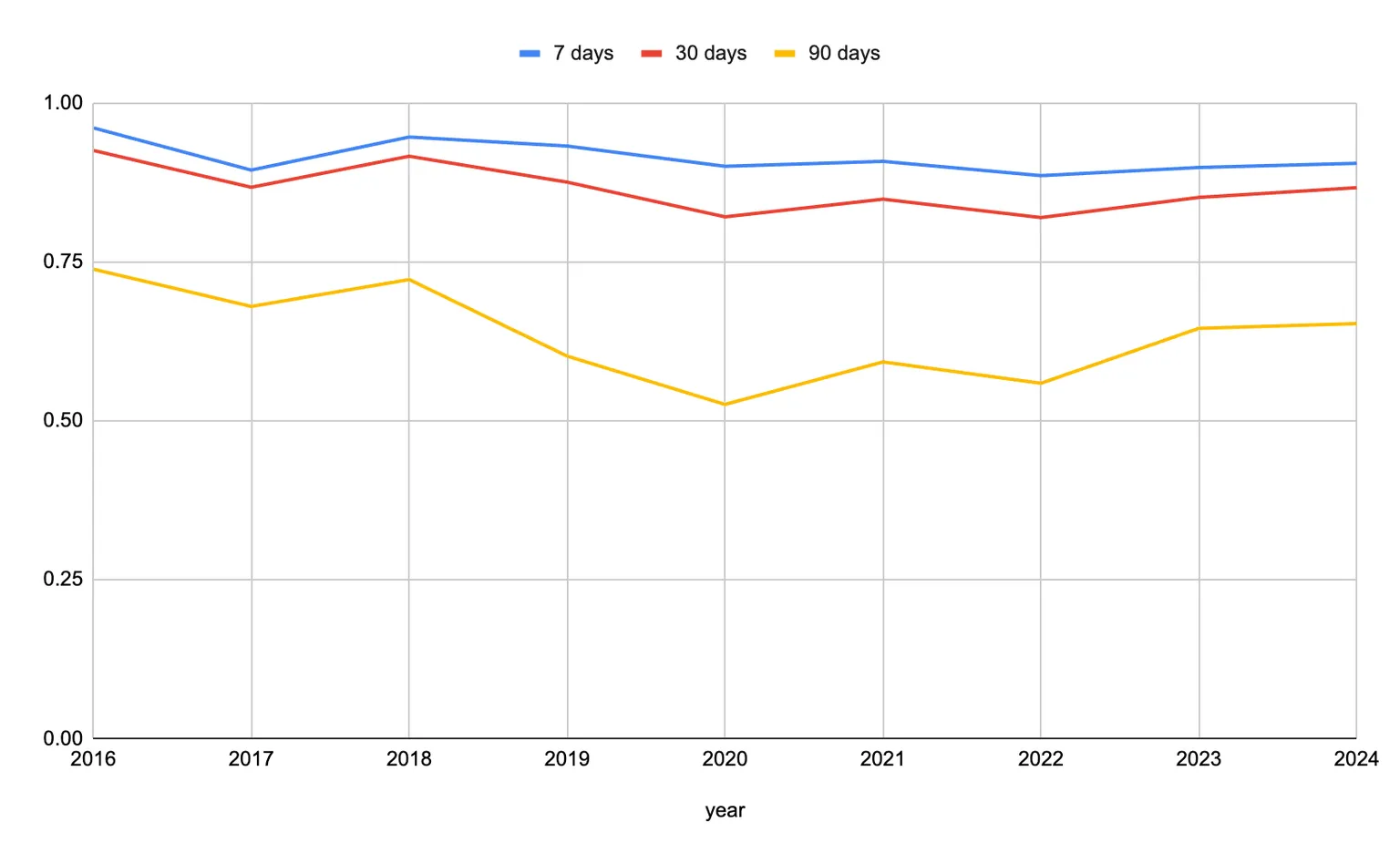
The GTFS Best Practices guide recommends publishing data for the current data plus at least 7 days in the future. We've used the Transitland archives to assess how many feeds meet this goal.
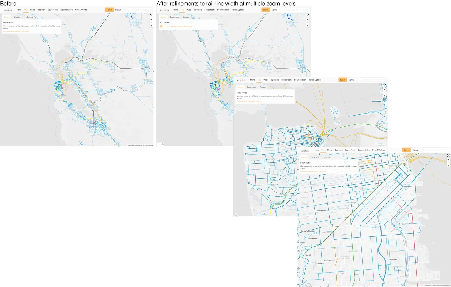
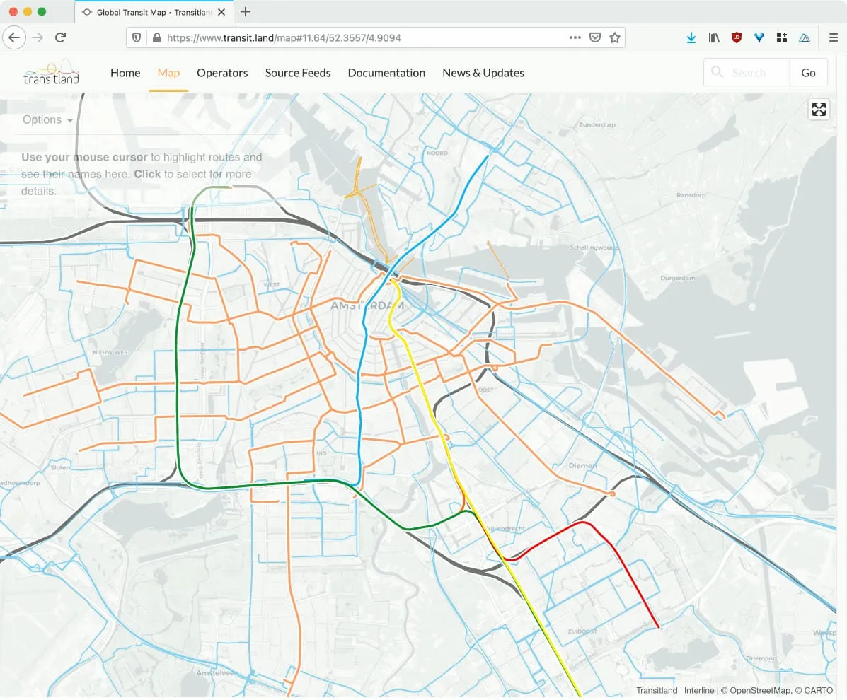
We've refined Transitland's global map to emphasize where riders can access the most frequent transit service. Thanks to leaders at San Francisco's transit agency for informing this improvement.
We announced the multi-step deprecation of the Transitland v1 API in a blog post in 2019. The time has now come the Interline team to finally turn off the v1 Datastore API.
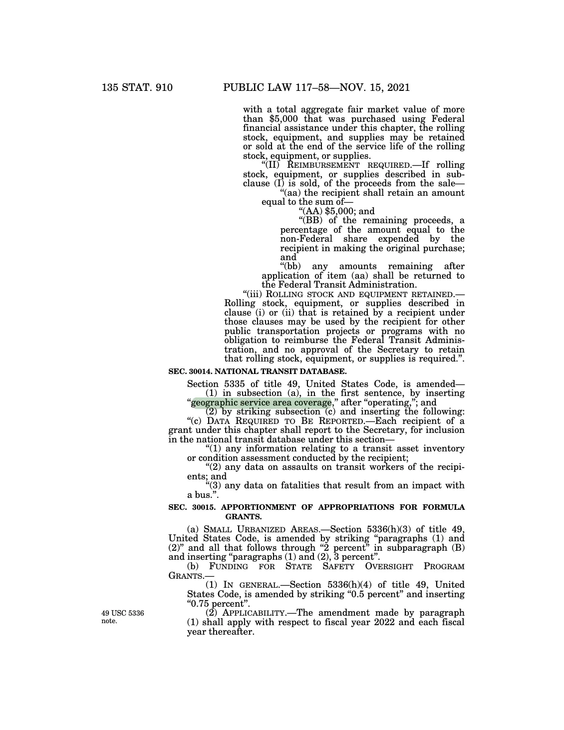
To meet meet the Bipartisan Infrastructure Law's requirement to collect data on American transit agencies' "geographic service area coverage," the US Federal Transit Administration will begin to require GTFS feeds from fixed-route transit agencies that receive federal funds.
For the latest updates from Interline, you can now follow our blog using an RSS feed reader
MTC and Interline have released updated fares and transfer discounts for over 30 Bay Area transit agencies using the adopted GTFS-Fares v2 "base implementation" and a series of proposed extensions.
American public transit agencies that receive federal funds are required to report information for inclusion in the National Transit Database. The Federal Transit Administration is proposing that each agency will also provide a URL for a GTFS feed in their NTD reports.
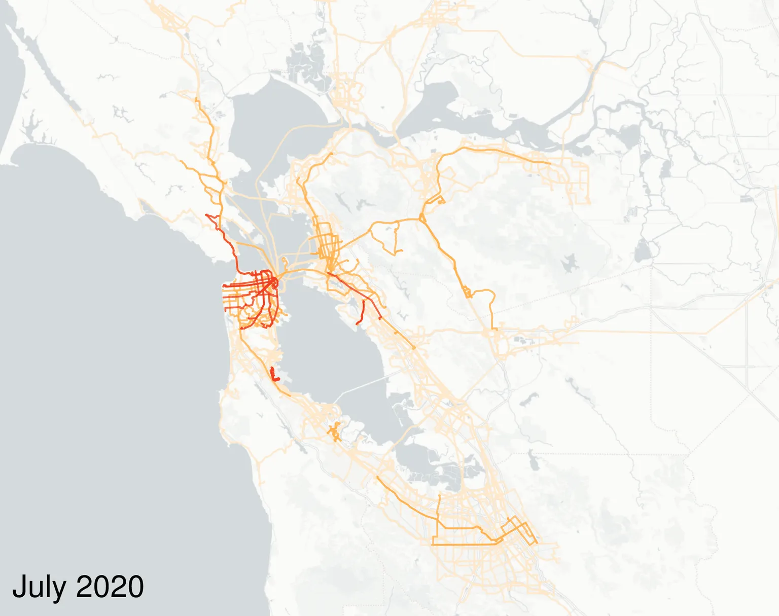
Interline and the Metropolitan Transportation Commission are now releasing monthly "stop observation" datasets derived from the Regional GTFS Realtime Feed.
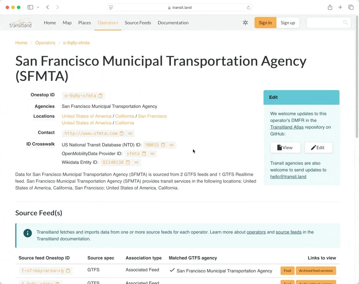
We are adjusting access to Transitland's GTFS feed version archive to better balance concerns.
Since releasing the global transit map and v2 Vector Tiles API last year, we've added a variety of improvements in functionality and in rendering.
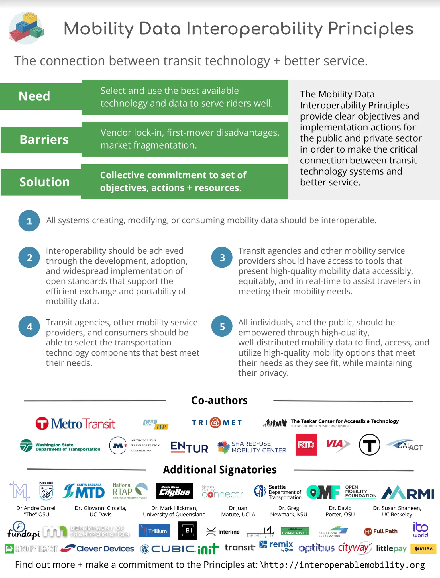
Interline is pleased to sign the newly drafted Mobility Data Interoperability Principles.
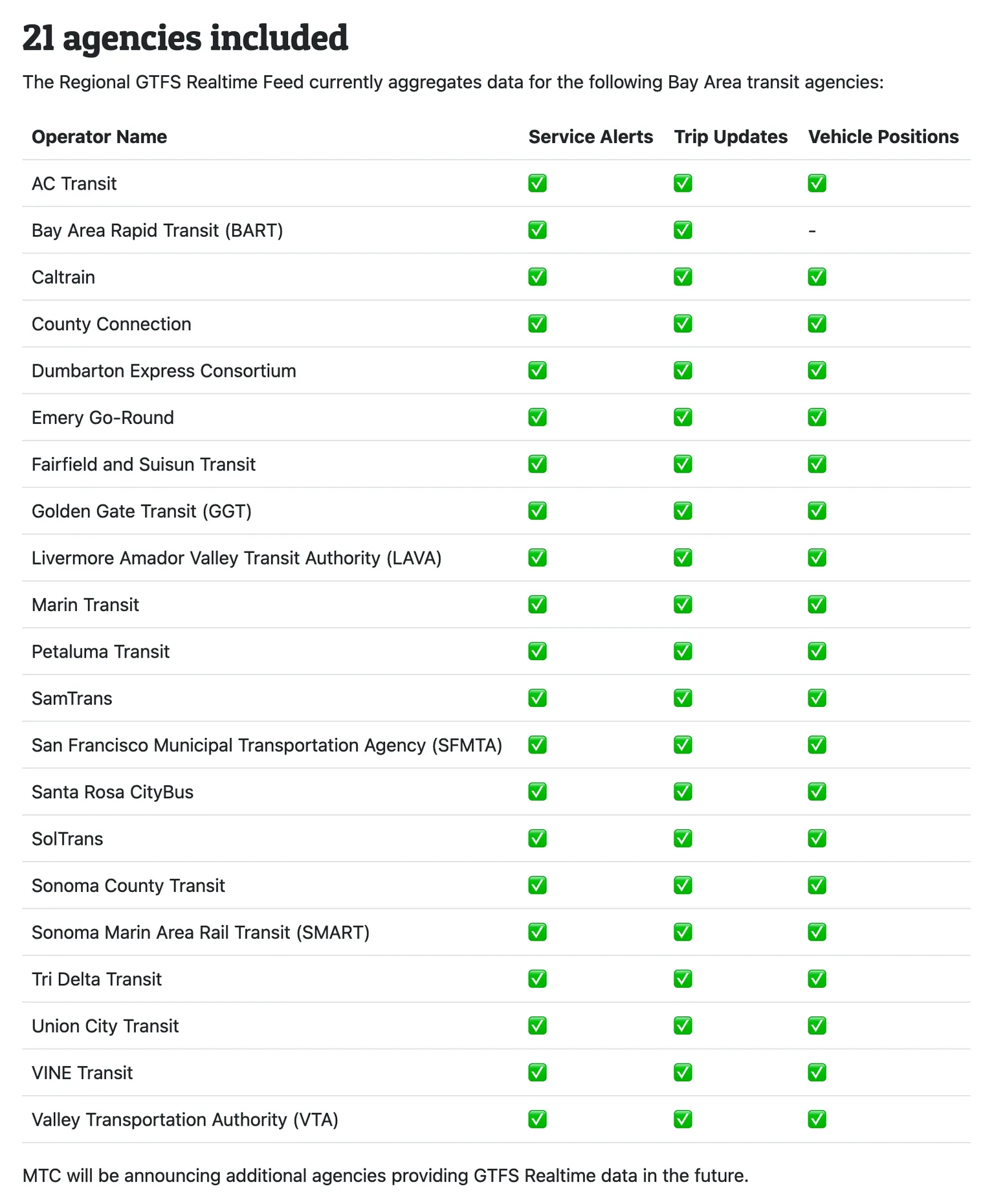
The Metropolitan Transportation Commission and Interline are pleased to announce a single consolidated Regional GTFS Realtime feed. Developers can now get a comprehensive and up-to-date views of the Bay Area's bus, train, and ferry services.
Here's one of our favorite new additions to Transitland v2: search across all of the operators, feed records, and routes in Transitland.
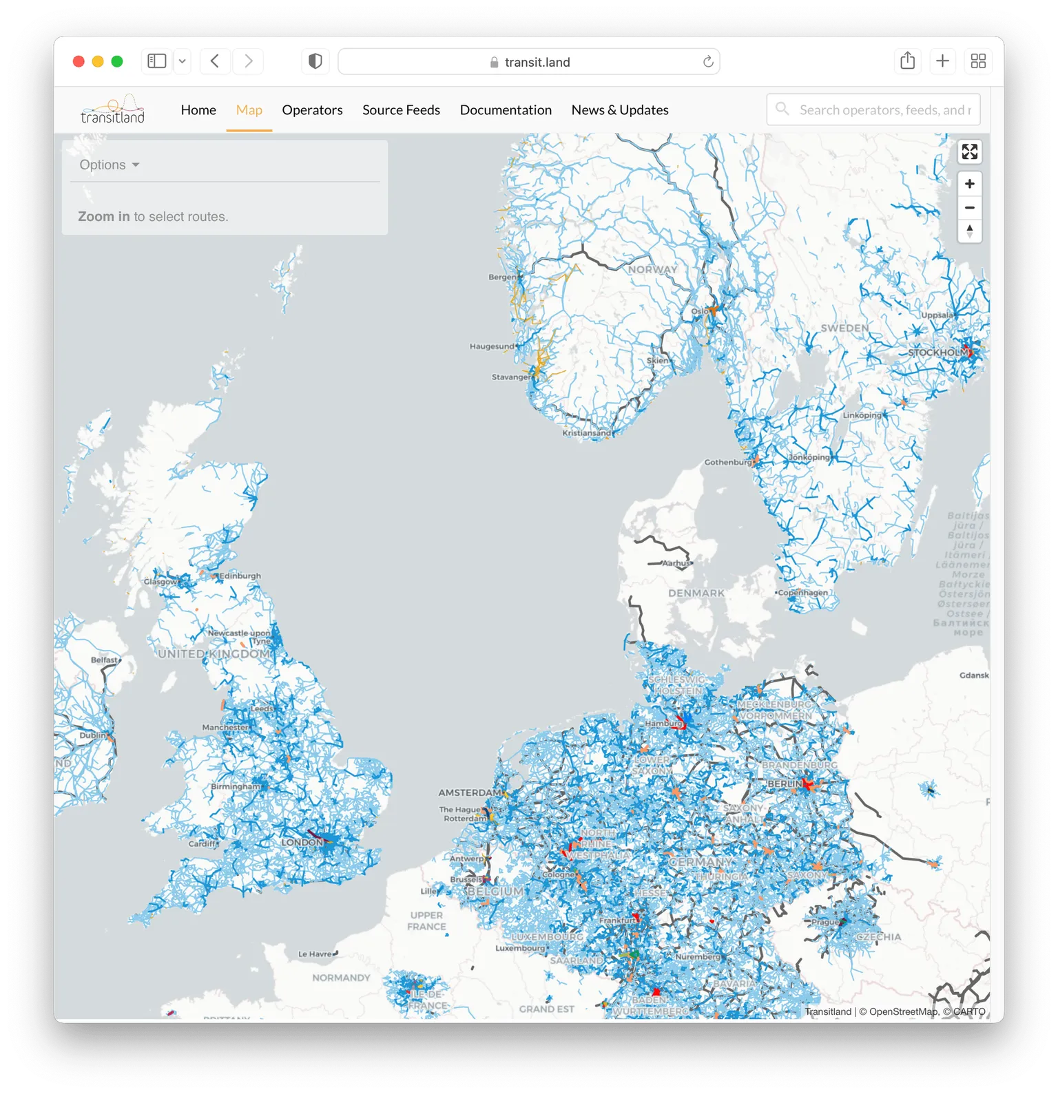
Here's one of our favorite new additions to Transitland v2: a "slippy map" of transit routes and stops around the world.
In 2019 and 2020, Interline and the Center for Urban Transportation Research at University of South Florida collaborated on a Transit IDEA Program grant from the US Transportation Research Board. Our goal has been to help transit agencies to validate and improve the quality of their GTFS Realtime feeds. This first grant is now complete and TRB has published the full report with our findings and proposed next steps.
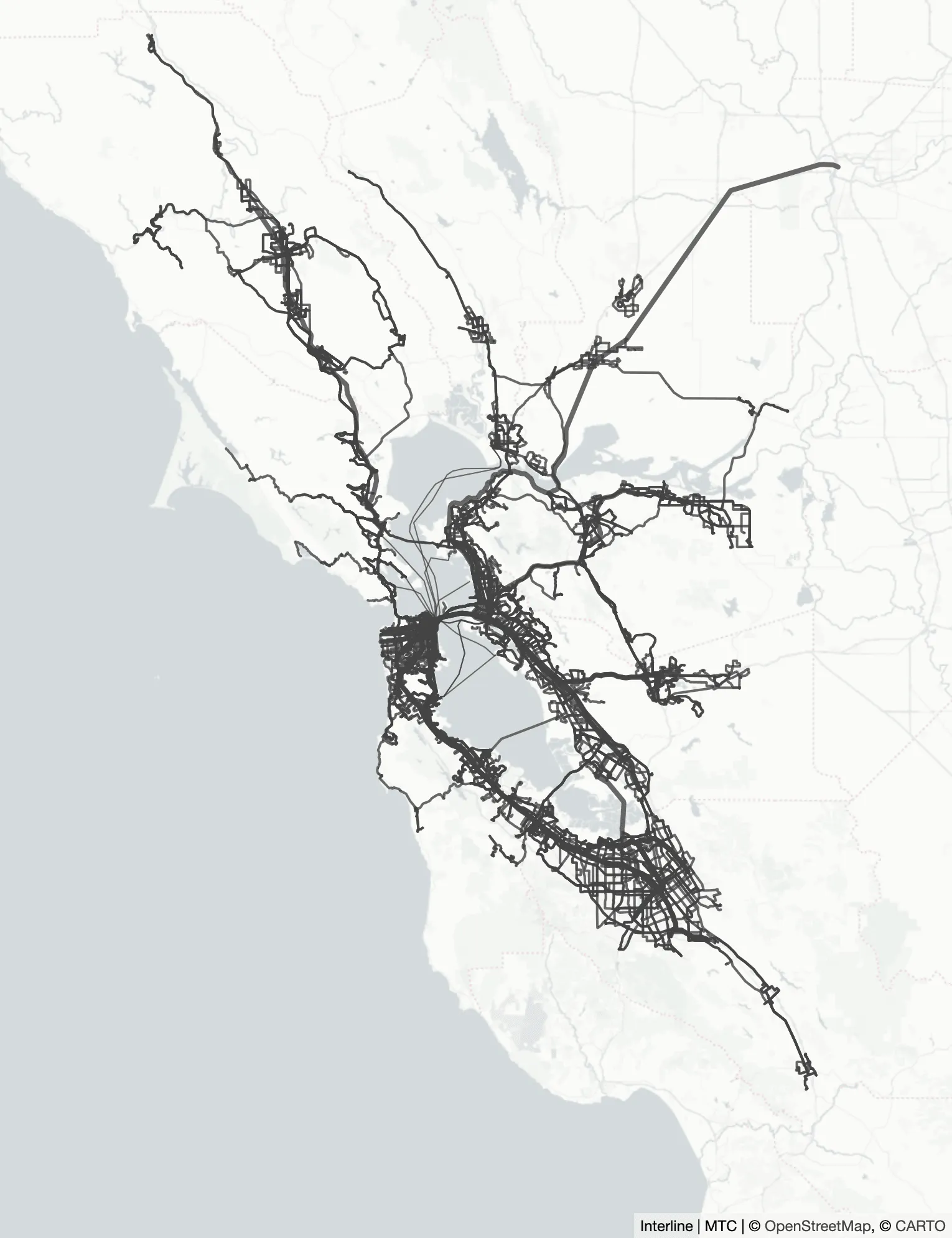
Last year, Interline began a "startup in residence" at the Metropolitan Transportation Commission. Now we're pleased to publicly release our first creation: the San Francisco Bay Area's Regional GTFS Feed.
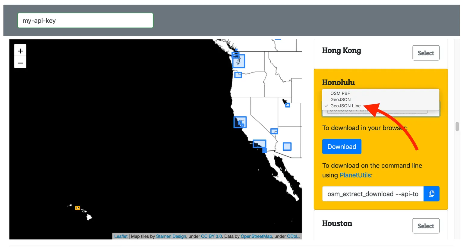
"GeoJSONL" has the easy readability of a GeoJSON file without the the performance limitations of the format. Last year we started producing GeoJSONL files from our OSM Extracts service. Now a growing list of long-existing and brand-new geospatial tools.
We’re excited to share that the Transportation Research Board has awarded a Transit IDEA Program grant to Interline. We’re using this unique opportunity to expand Transitland to support GTFS Realtime feeds.
We're excited to share that the Metropolitan Transportation Commission has selected Interline through a competitive process to participate in its 2019 Startup in Residence (STIR) program. Interline and MTC will collaborate on the problem of regional transit data.
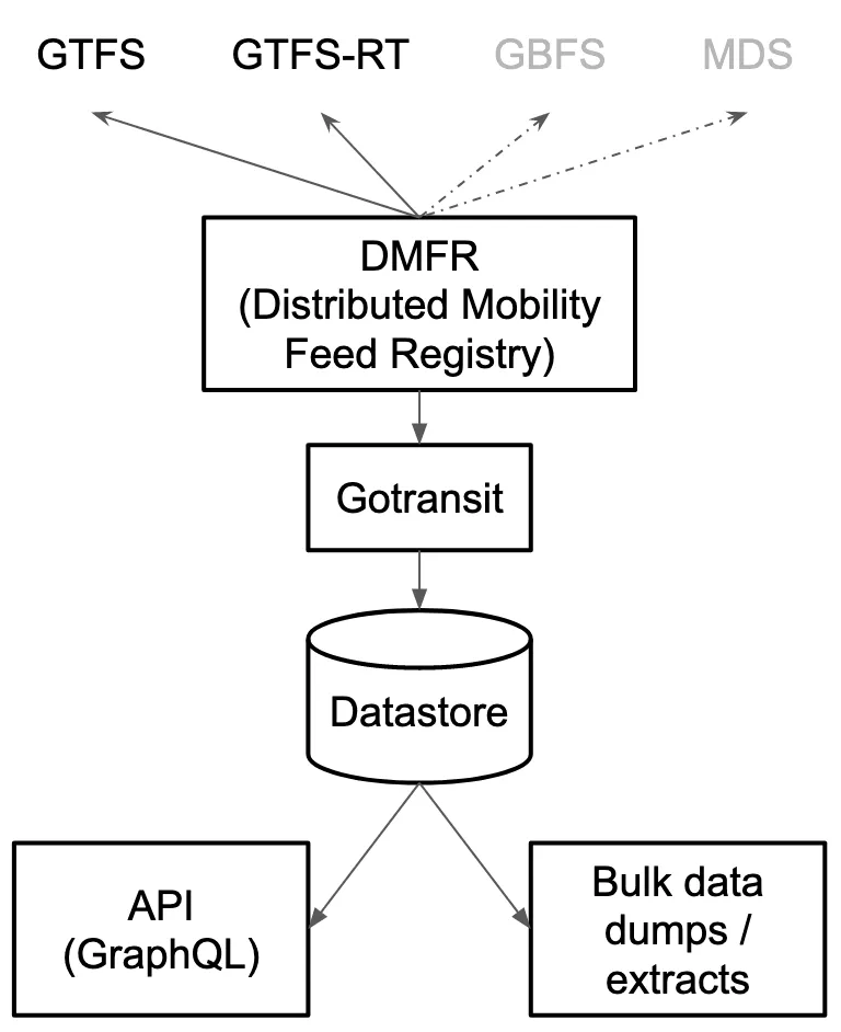
What first started as two simple, separate, little experiments has grown into the seeds of a major revision of the entire Transitland platform: Transitland Version 2.
Just like a garden, open-source and open-data projects require continual tending. With 2019 beginning, we're glad to share more widely these plans for Transitland's ongoing tending and growth as an open platform.
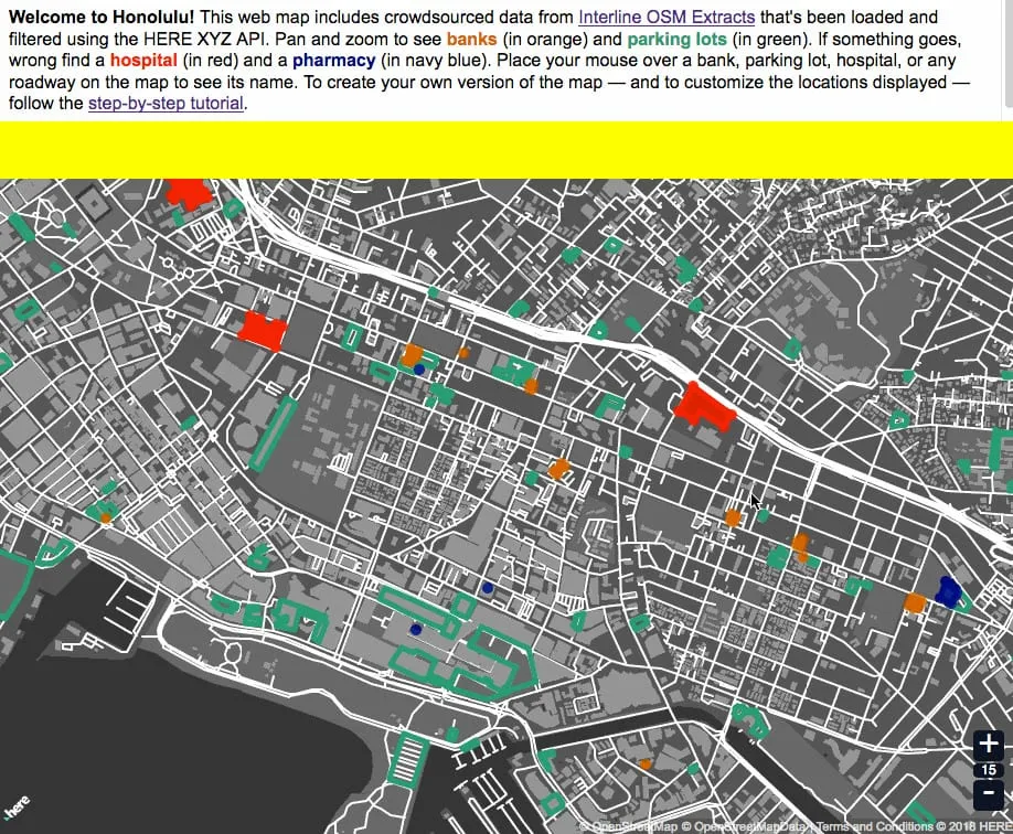
Interline and HERE are collaborating to make Interline's open data services like OSM Extracts and the Transitland API easy to combine, mix, filter, analyze, and visualize using the new HERE XYZ platform.
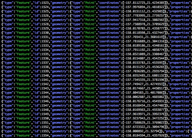
GeoJSON Lines (geojsonl) is a simple, newline-delimited variant of GeoJSON that allows large datasets to be loaded with a much lower memory footprint and easily integrate with traditional text-based tools. Interline OSM Extracts now provides geojsonl, along with a small but growing number of tools.
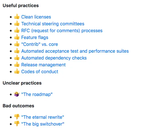
We've encountered many practices that can help complex and collaborative open-source projects survive and thrive. This blog post provides a tour through many open-source practices, particularly ones that are helpful for aging but popular software packages like OpenTripPlanner.
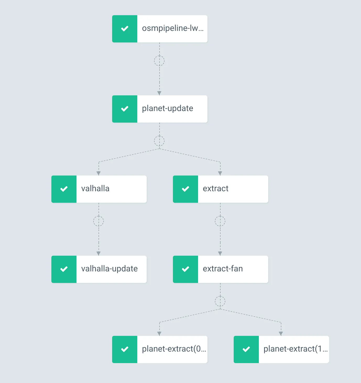
Interline now offers OSM Extracts, a service enabling software developers and GIS professionals to download chunks of OpenStreetMap data for 200 major cities and regions around the world.