Skip to content

2 posts tagged

GeoJSONL

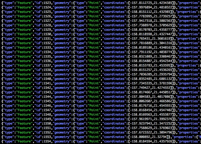
GeoJSONL is a readable and fast data format for geospatial vector data.

GeoJSONL

Even more geospatial tools supporting the "GeoJSONL" format

"GeoJSONL" has the easy readability of a GeoJSON file without the the performance limitations of the format. Last year we started producing GeoJSONL files from our OSM Extracts service. Now a growing list of long-existing and brand-new geospatial tools.
OpenStreetMap

GeoJSONL: An optimized format for large geographic datasets

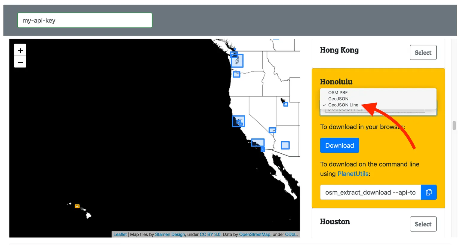
GeoJSON Lines (geojsonl) is a simple, newline-delimited variant of GeoJSON that allows large datasets to be loaded with a much lower memory footprint and easily integrate with traditional text-based tools. Interline OSM Extracts now provides geojsonl, along with a small but growing number of tools.

RSS feed for GeoJSONLAll tagsAll posts