Skip to content

Interline Routing Platform

Intro to Valhalla

Valhalla is one of the two engines behind the Interline Routing Platform, where it handles auto, bicycle, and pedestrian routing. This page is about the engine itself.

Valhalla is a multi-purpose routing engine originally created by Mapzen's mobility team, which was led by and included the founders of Interline. Now, Valhalla is also used by organizations like Mapillary (street imagery), Mapbox (mapping APIs), Tesla (electric cars), and Sidewalk Labs (urban real-estate development and operations). Valhalla is open-source (MIT license) and is maintained by many contributors.

Interline continues its involvement in open-source Valhalla, providing a variety of products and services to help organizations and individuals use Valhalla.
What functions can Valhalla perform?

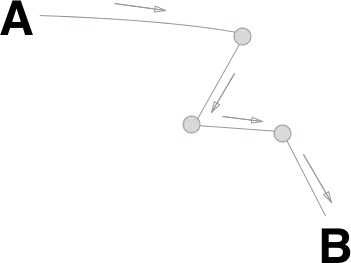
A route line drawn between two points with turn markers

Turn-by-turn directions

Plan trips from Point A to Point B — and any number of other destinations.

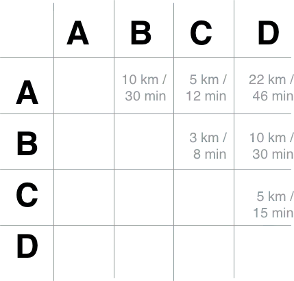
A grid of travel times between several locations

Time/distance matrixes

Rapidly calculate travel distances and times between many locations.

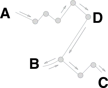
A single route visiting many stops in order

Optimized routes

Plan the shortest route to visit many locations (a.k.a. traveling salesman).

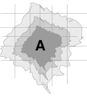
Concentric bands showing how far you can travel in a given time

Access isochrones

Compute the boundaries of how far one can travel in 15 minutes, 30 minutes, and so on from an origin location.

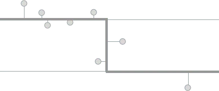
Scattered GPS points snapped onto a road line

Location-to-map snapping

Snap GPS probe data (or location data from another "noisy" source) with roadways and other elements of a transportation network.

What makes Valhalla unique?

🌎 OpenStreetMap

Valhalla is designed to work with the rich data model of OpenStreetMap. It normalizes a wide range of tags into a consistent roadway hierarchy. It applies country-specific parameters to handle different laws (e.g., drive on right vs. on left) and default speed limits.

📜 Narrative guidance

When generating turn-by-turn routes, Valhalla generates rich narrative guidance that's available in multiple languages. Without duplicative maneuvers (no unnecessary instructions to "continue"). Ready for output as text-to-speech (TTS) on a smartphone.

🚌 Multimodal

Valhalla supports many travel modes: auto, high-occupancy auto, bicycle, motor scooter, and pedestrian. Valhalla combines perfectly with the Transitland Routing API to also plan journeys by bus, train, and subway using the latest schedules from public transit agencies across the entire United States.

⚙️ Dynamic costing

All of Valhalla's travel modes can be customized on the fly by changing costing parameters in each query.

Tiled data structure

Valhalla generates and consumes its routing graph as tiles. This format allows an instance of Valhalla to scale to cover the entire planet, or to be specific to one metropolitan region.

📱 Embeddable

Valhalla is primarily written in C++. It can be used for embedded applications in auto infotainment systems, on iOS, and on Android.

How can I run Valhalla?

Run it yourself, from Docker

Valhalla ships as a container: easy on a laptop for testing, and ready for Kubernetes Engine, Elastic Container Service, or any other scheduler.

Run it yourself, on our tiles

Your servers, without the tile build pipeline. We rebuild planet-wide tiles daily for you to download and deploy.

Let us run it

We host Valhalla worldwide as part of the Interline Routing Platform, which covers transit as well, with self-serve sign-up.