OpenStreetMap is the world's largest collaboratively created geospatial dataset of roads, paths, points of interest, and other geographic features. We contribute to OSM and use it to power many of our services.
"GeoJSONL" has the easy readability of a GeoJSON file without the the performance limitations of the format. Last year we started producing GeoJSONL files from our OSM Extracts service. Now a growing list of long-existing and brand-new geospatial tools.
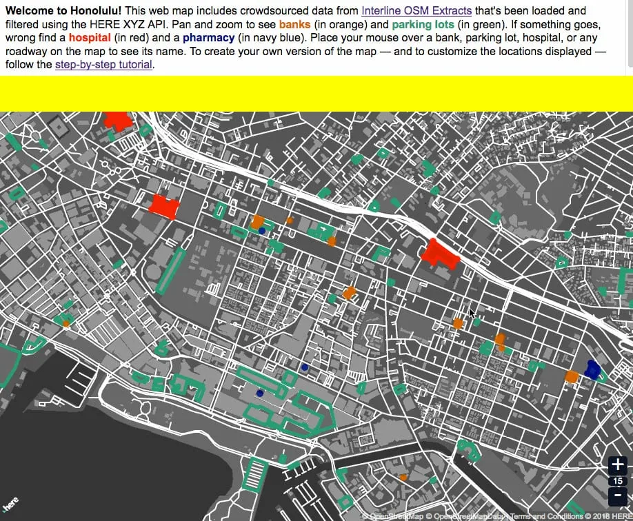
Interline and HERE are collaborating to make Interline's open data services like OSM Extracts and the Transitland API easy to combine, mix, filter, analyze, and visualize using the new HERE XYZ platform.
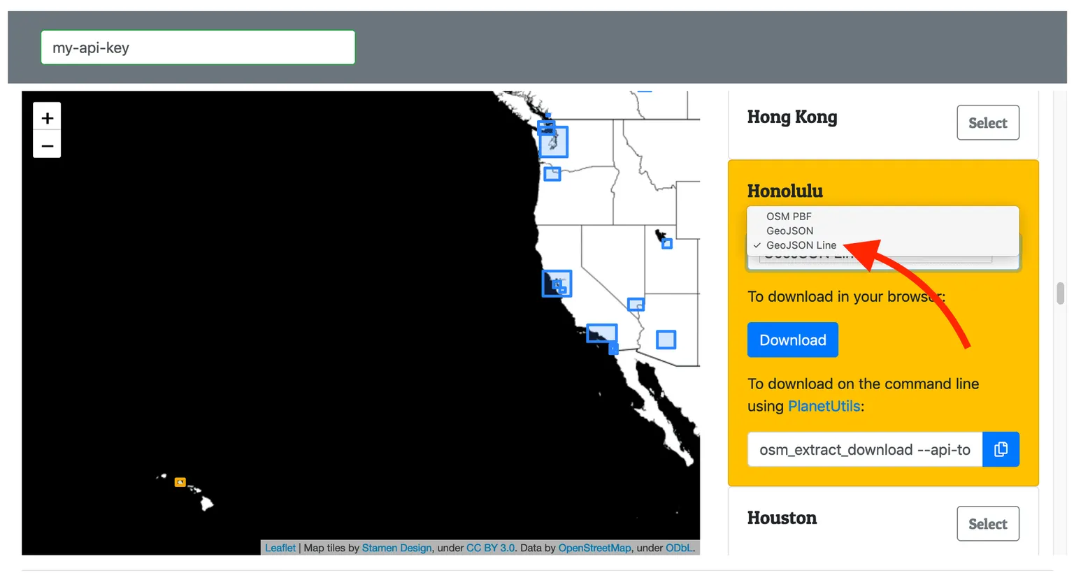
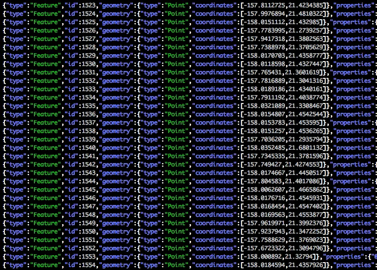
GeoJSON Lines (geojsonl) is a simple, newline-delimited variant of GeoJSON that allows large datasets to be loaded with a much lower memory footprint and easily integrate with traditional text-based tools. Interline OSM Extracts now provides geojsonl, along with a small but growing number of tools.
Interline now offers OSM Extracts, a service enabling software developers and GIS professionals to download chunks of OpenStreetMap data for 200 major cities and regions around the world.