💡
Learn more about Transitland Datasets.
The US National Transit Map is a set of GIS layers in the National Transportation Atlas Database (NTAD). This page describes how it's produced, what it includes, and how it compares with Transitland Datasets and Transitland APIs.
Many public transit agencies across the United States have been producing GTFS data feeds for years. Some regional governments and state governments have also been involved in producing and disseminating GTFS data, on behalf of the transit agencies in their areas of interest. But the US federal government had no involvement in encouraging the production of GTFS feeds or helping to disseminate GTFS data.
The US federal government became involved in GTFS data in 2016 when Secretary of Transportation Anthony Foxx issued a “dear colleague” letter announcing:
The solution is straightforward: a national repository of voluntarily provided, public domain GTFS feed data that is compiled into a common format with data from fixed route systems.
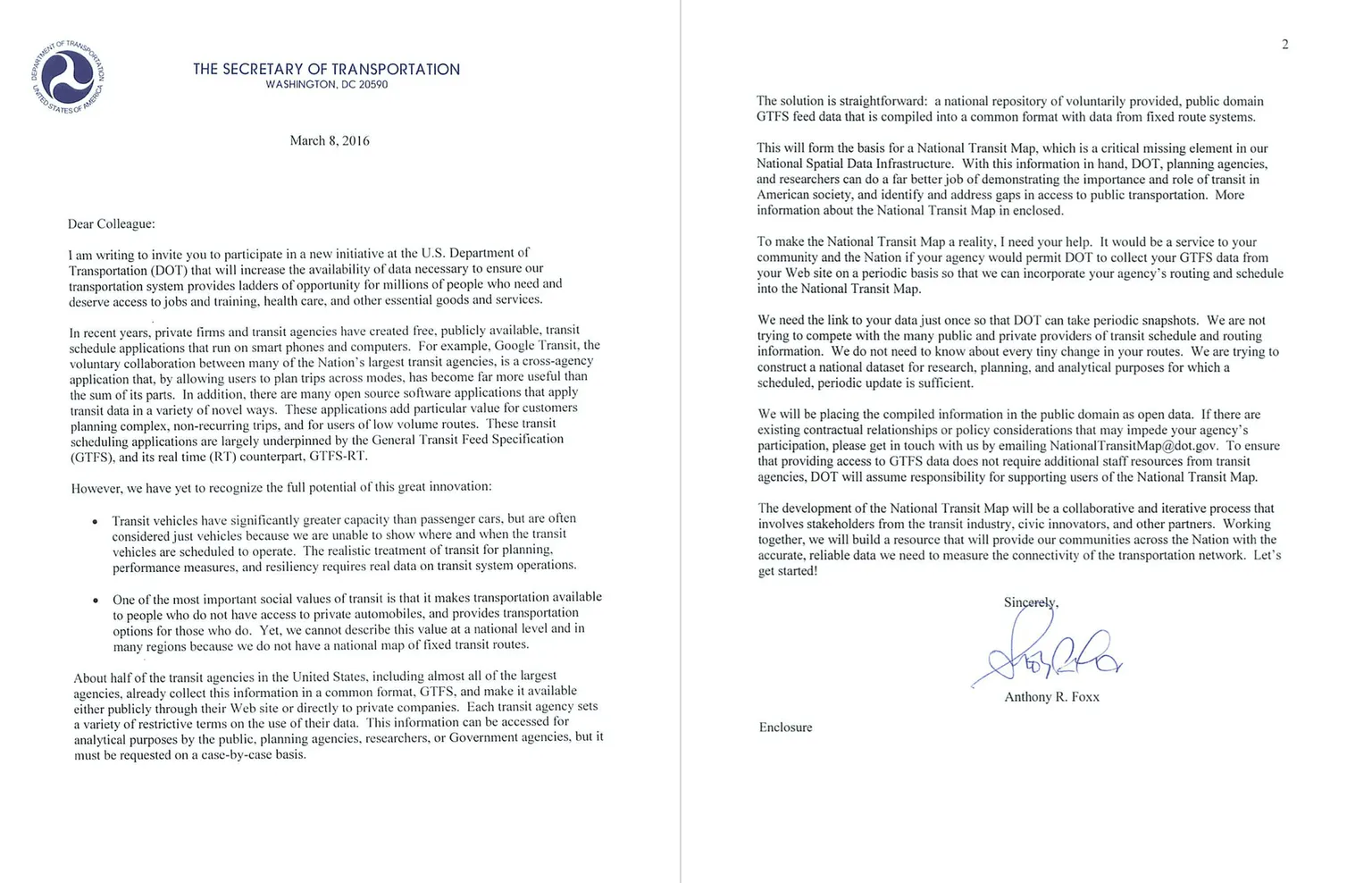
Since that announcement, the Bureau of Transportation Statistics (BTS), within the US Department of Transportation (USDOT), has been tasked with creating and maintaining the National Transit Map.
The FTA began requiring National Transit Database (NTD) reporters to submit GTFS feed URLs as part of their annual reporting starting in Report Year 2023, following a final notice issued on March 3, 2023. Transit agencies submit URLs through their existing FTA Federal Access Control and Entry System (FACES) accounts.
Licensing shifted with the requirement: data submitted voluntarily before the change was granted to USDOT under the Creative Commons Attribution 3.0 United States (CC-BY-3.0) license, while data submitted under the NTD requirement enters the public domain.
BTS pulls the submitted feeds, extracts data, and publishes nationwide layers to the National Transportation Atlas Database (NTAD) several times a year.
For background on the NTD reporting transition, see our blog post: US National Transit Database releases data and requests more feedback.
The US Bureau of Transportation Statistics downloads agencies’ static GTFS feeds a few times each year and uses the source feeds to produce nation-wide geospatial layers in the National Transportation Atlas Database (NTAD). The collected GTFS source data is not released to the public.
Three layers are available as part of the National Transit Map:
The three layers are served to the public using the BTS Open Data portal, which is powered by Esri ArcGIS Online. The portal enables basic browsing of each layer, as well as download for use in desktop GIS software or scripts.
Both platforms assemble nationwide transit stop data from agency-produced GTFS feeds. NTM collects feeds that transit agencies submit through the FTA. Transitland sources its feeds through the open Transitland Atlas feed registry. As of April 2026, raw stop counts are comparable. The key differences are update frequency, schedule data, and how each platform handles stop deduplication and non-stop GTFS location types.
| Platform | Stops coverage | Update frequency | Schedule data | Formats | Licensing | Cost |
|---|---|---|---|---|---|---|
| US National Transit Map | ||||||
| (Stops layer) | 680,275 rows | |||||
| (April 2026; includes ~4,000 GTFS entrances and pathway nodes alongside stops, platforms, and stations) | Approximately quarterly | Not included | CSV, KML, Shapefile, GeoJSON, File Geodatabase | Creative Commons Attribution 3.0 | Free | |
| Transitland Datasets | 643,257 US stops | |||||
(April 2026 export; stops and stations, deduplicated across agencies via Transitland onestop_id) | Approximately monthly | Per-stop departure counts for each day of the week, broken down by direction | CSV and GeoJSONL | Source-feed open-data licenses, aggregated under the Transitland Terms | Free for non-commercial use; request a quote for commercial pricing | |
| Transitland v2 REST & GraphQL APIs | Same underlying corpus as Datasets | Daily | Queryable via API | JSON, GeoJSON | Transitland Terms | Free and paid plans |
Both the National Transit Map and Transitland provide options for adding transit stops and routes as layers to GIS projects.
As the National Transit Map agency, stop, and route layers are hosted on ArcGIS Online, the interface for browsing and downloading the layers will be familiar to users of Esri tooling.
Transitland provides Transitland v2 Vector Tiles for use as layers in a wide range of GIS tooling. See this tutorial on how to add Transitland stop and route tiles as layers in QGIS. Transitland Vector Tiles can also be used to create web maps with libraries like Mapbox GL and Maplibre.
Reach for the National Transit Map when:
Reach for Transitland Datasets when:
Reach for the Transitland APIs when: